
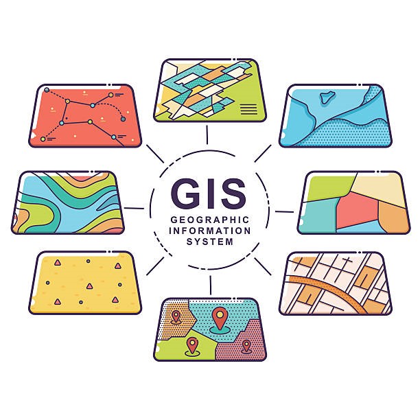
Walden was retained by a local Town after recognizing a need to consolidate infrastructure data, maps, field notes, and water quality information in a single comprehensive system that allows real-time field viewing and updating, central reporting and management and a variety of mapping formats including aerial photos, schematics, mechanicals, site plans, and pipe network mapping. The Town’s Water Department determined a needs assessment should be conducted to assess the internal department workflows, internal data products, data needs, hardware and software needs, consulting services, and implementation phases needed to successfully rollout a comprehensive Geographic Information System (GIS) to maximize the efficiency of the Water Department’s operations and managements.
After a series of interviews with Department staff, online research, data and technology evaluations, Walden determined that the Department should implement two integrated systems to address its needs including an asset and work order management system, as well as a GIS system tied to the asset management system for accurate graphical mapping of Department assets.
As a result of the successful GIS implementation, the new system improved the Department’s overall operating efficiencies, eliminated redundant data maintenance and entry activities, as well as provided an effective means of managing and distributing accurate real-time data. After integrating the new systems into the Department’s operations, other operational benefits were realized including but not limited to the ability to create custom locator maps for new Department projects, helped enhance the Department’s annual budgeting process, enabled the Water Department to effectively coordinate with other public services such as highways, fire departments, and utilities.