
It is becoming more common for municipal Sanitation Departments and private solid waste facilities to process yard wastes for beneficial reuse as mulch or compost, keeping these materials from ending up in landfills. One Long Island solid waste management facility (SWMF) stores such waste in a 20,000 square foot building prior to processing. This sanitation facility needed a clear understanding of the waste volume, pile height, pile spacing, and proximity to man-made structures to determine what actions were necessary to achieve compliance with New York State’s complex Part 360 Solid Waste requirements.
To obtain this data, the SWMF turned to Walden Environmental Engineering, who enlisted drone partner Harkin Aerial to give a demonstration of how they could capture this data.
“This was a challenging request,” says Scott Harrigan from Harkin. “Typical tripod laser scanning for an indoor environment such as this would require setting up a scanner and breaking it down many times over, on a very tall tripod to scan the tops of piles. That would have easily taken us an entire day to do, which is not efficient or cost-effective for the requested deliverables. We usually would capture such piles using photogrammetry, but due to the low light conditions of the indoor space, drone or DSLR photogrammetry would perform poorly in this environment. We would not be able to make quality models from the poor ambient lighting.”
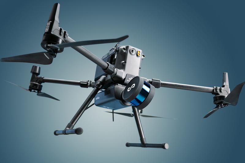
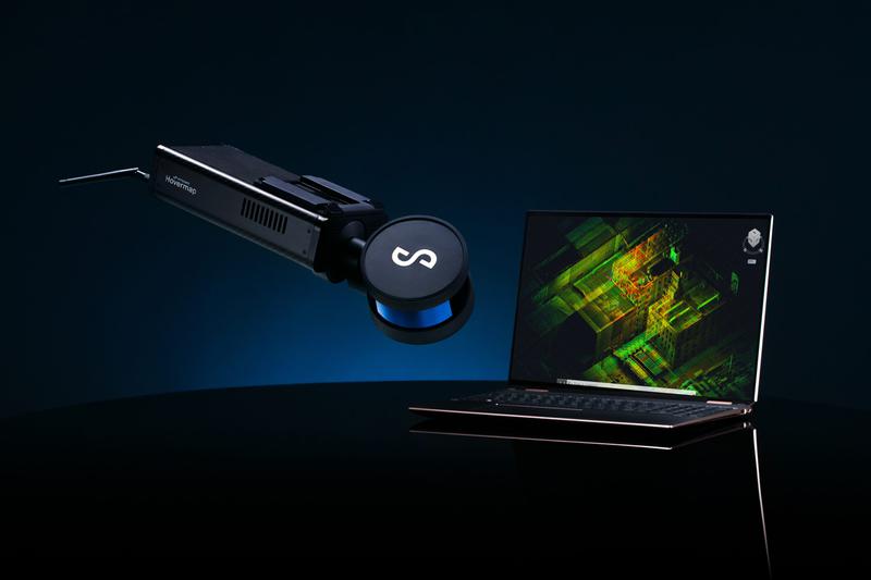
Fortunately, Harrigan had another option–Hovermap from Emesent. Hovermap is a smart mobile LiDAR scanning unit with the ability to fly in GPS-denied environments using cutting-edge collision avoidance and autonomous flight technologies. In addition, Hovermap’s quick-release mechanism makes it easy to switch from air to ground use, enabling the collection of critical data both in the air and on the ground.
This time, Scott chose a drone to capture a view of the piles from above, with Hovermap on a DJI M300 drone. By utilizing Autonomy Level 1, Harrigan was able to safely pilot the drone inside the warehouse enclosure, flying directly over the piles to scan the complete interior, needing only one set of drone batteries.
Harrigan is an experienced drone pilot and has used many different technologies to collect data in several complicated site conditions. He was very impressed with the Hovermap’s performance stating, “In a matter of 15 minutes, we were able to capture a LiDAR scan of the entire warehouse structure, including every single interior pile. I then passed the scan data over to Walden, who prepared a site plan that includes the stockpile volumes, distances, contours, elevations, and other data as required by New York state, which ensures the site is operating in an environmentally friendly manner.
This site plan helps the customer comply with their Part 360 regulations and calculate the haul call-outs required to optimize transport and reduce the high costs of haulage in the tri-state area.
If you need help with your Part 360 permit applications, requirements, or regular reporting, reach out to Walden Environmental Engineering at (516) 586-0533. We work hand-in-hand with Harkin Aerial to solve many complex issues facing our clients, so give us a call to discuss how drones can be applied to your projects.